

What Spatial AI and Digital Twins Actually Mean for Contractors Running Physical Job Sites
NavVis just raised $85 million to make the physical world legible to AI. Here is what that means if you run crews on real job sites.
You have probably driven to a job site in the last month to answer a question that could have been answered remotely. Maybe it was to confirm a measurement, check on an installation, or settle a dispute with a GC about where a piece of equipment actually ended up. That drive cost you two hours and a tank of gas, and it almost certainly pulled you away from something else that needed your attention.
That is the operational problem that spatial AI is beginning to address in a serious way, and a major funding round this week signals that the technology is moving from early adopter experiment to mainstream infrastructure faster than most contractors realize.
The NavVis Series D: What Happened and Why It Matters
On August 7, 2026, Munich based NavVis announced it had raised approximately €73 million (around $85 million USD) in a Series D funding round. Tech Startups reported the news here.
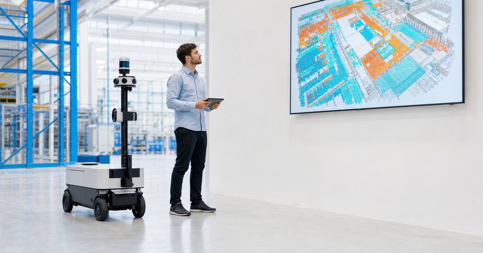
NavVis builds mobile mapping systems and software that create detailed, accurate digital representations of physical environments: factories, construction sites, offices, industrial facilities. The funding will be used to expand their spatial data technology and accelerate an AI roadmap aimed at bridging artificial intelligence with the physical world through what they call precise spatial intelligence.
The practical output of their technology is a digital twin: a navigable, measurable, up to date model of a real world space that software, robots, autonomous systems, and human operators can all reference.
A $85 million Series D is not a science project. That is institutional confidence that this technology is ready to scale.
What a Digital Twin Actually Is (and Is Not)
Before getting into the operational implications, it is worth being clear on the term, because "digital twin" gets stretched in a lot of directions.
For the purposes of this post, a digital twin is a spatially accurate, navigable model of a physical environment that is:
- Tied to real geometry. Not a schematic or a rough floor plan. An actual measured representation of the space, including as built conditions.
- Queryable. You can ask it questions. Where is this piece of equipment? What is the clearance here? What changed between visit one and visit two?
- Updatable. As the physical environment changes (construction progresses, assets move, spaces are reconfigured), the model can be updated to reflect current reality.
This is meaningfully different from a CAD drawing that was accurate in 2019 or a set of photos in a shared folder that nobody can find.
The Operational Problems This Addresses for Field Service Contractors
If you run a mixed operation, meaning you do both reactive service calls and planned projects, spatial AI hits you in at least three places.
1. Site Visits That Should Not Exist
In planned project work, a significant share of site visits are unplanned. A subcontractor needs to verify a measurement. A PM needs to confirm that a previous scope item was actually completed. An inspector has a question about an installation. Each of these visits eats crew time, travel time, and coordination overhead.
A spatially accurate, up to date model of the site lets a PM answer a lot of those questions from their desk. It does not eliminate site visits, but it filters out the ones that exist only because nobody has a reliable record of what is actually there.
2. As Built Documentation and Change Orders
One of the most common sources of margin leakage in project work is the gap between the contract drawings and what was actually built. When scope changes in the field and the documentation does not keep up, you end up with change orders that are hard to substantiate, disputes with GCs, and rework that could have been avoided if everyone had been looking at the same picture.
Accurate spatial capture of job site conditions, done progressively as work advances, creates an evidence trail. That trail supports change order documentation, helps resolve disputes, and gives the next trade an accurate starting point instead of a set of assumptions.
3. Remote Oversight of Multiple Sites Simultaneously
For contractors running multiple projects at once, which is most of you in the 20 to 100 employee range, the limiting factor on project management quality is often the PM's physical presence. They can only be on one site at a time. Everything else runs on check ins, photos, and whatever the foreman remembers to communicate.
Remote oversight tools built on accurate spatial models let a PM review real conditions at multiple sites without traveling to each one. This does not replace judgment or relationship, but it does give the PM better information to work with between visits.
A Practical Framework for Thinking About This Technology
You do not need to buy into any specific platform right now to start thinking clearly about where spatial AI fits in your operation. Here is a simple way to evaluate it.
Step 1: Identify your most expensive information gaps. Where do you currently make decisions based on stale, incomplete, or unverified information about a physical space? Typical answers: pre bid site assessments, as built conditions after rough in, equipment locations in facilities management contracts.
Step 2: Estimate the cost of those gaps. This does not have to be precise. How many site visits per month are driven by information you could have had remotely? How many change orders per quarter are disputed or underbilled because you cannot substantiate what was actually built?
Step 3: Assess your documentation discipline. Spatial AI tools are only as useful as your team's willingness to use them consistently. Before investing in capture technology, ask whether your current photo documentation, daily reports, and field notes are actually being completed and filed. If the answer is no, the problem is operational discipline, not sensor technology.
Step 4: Start with a single project type. The contractors who get value from new technology quickly are the ones who run a controlled pilot on a specific project type (say, mechanical retrofit in occupied facilities) rather than trying to change everything at once. Pick the project type where information gaps cost you the most, and test there.
The Operational Execution Layer Still Has to Work
Here is the honest reality: spatial AI addresses the physical visibility problem. It does not address the operational execution problem.
Even if you can see every corner of a job site remotely, you still need the work orders to be accurate, the change orders to be captured and billed, the crew time to be recorded against the right cost code, the permit to be renewed before it expires, and the invoice to go out before your cash position forces you to chase it.
Those operational failures happen in the workflow layer, not the spatial layer. And they happen most often in organizations where operational truth is distributed across disconnected tools: a dispatch system that does not talk to accounting, a project management app that does not connect to timesheets, a CRM that lives separately from the quote that won the job.
That is the problem PolarPath was built to address. Not spatial capture of job sites, but the continuous flow of operational data from customer intake through quoting, field execution, project management, change orders, invoicing, and workforce, all in one place, working alongside QuickBooks rather than trying to replace it. When your operational execution layer is solid, the addition of tools like spatial AI becomes genuinely additive. When it is not, new technology tends to create new complexity on top of existing chaos.
Takeaway
The NavVis Series D is a signal worth paying attention to: the investment community believes that precise spatial intelligence for physical environments is moving into mainstream infrastructure. For contractors, the practical payoff is better information about real world job site conditions, which translates to fewer unnecessary site visits, stronger change order documentation, and more credible remote oversight across multiple projects.
You do not need to act on this technology today. But the contractors who will get the most out of it when it arrives are the ones who have already solved the operational execution problem underneath it. Getting your workflow from quote to invoice running cleanly, with field data feeding billing and project data feeding margin visibility, is the foundation that makes every layer of new technology worth the investment.
If you are curious about what that foundation looks like in practice for a mixed service and project operation, that is exactly the conversation PolarPath is built for. Book a walkthrough at polarpath.ca.